In a state of emergency, information about your surroundings can be the extra edge needed to keep you safe. Furthermore, information available to first responders can only help circumstances to afford additional situational awareness. Applications such as the ATAK mobile app can help a team locate and communicate amongst themselves.
This was discussed in our previous post :
http://brightersight.ca/eds-blog/index.php/2018/01/29/can-technology-help-first-responders/
We have also discussed the idea of internal GPS tracking systems for first responder teams. Check out the posts here:
http://brightersight.ca/eds-blog/index.php/2017/11/02/keep-on-tracking/
http://brightersight.ca/eds-blog/index.php/2017/10/10/department-of-homeland-security-precision-outdoor-and-indoor-navigation-and-tracking-for-emergency-responders-pointer/
http://brightersight.ca/eds-blog/index.php/2017/09/28/smart-next-generation-first-responder-solutions/
The idea of an internal GPS system is the provide real-time information for the “blue force” team. In our case, the first responders. They can use it to communicate location and coordinate a rescue mission.
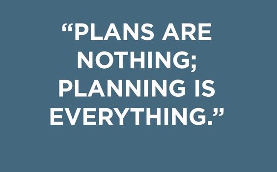
It was Dwight D. Eisenhower that once said: ” Plans are nothing, planning is everything”. If we apply that in the world of first responders, knowing and planning for the situation before you even get there could make a difference in saving a life.
A company named, RealView, is trying to do just that. Assisting with planning that can lead to training.
Form the RealView CommandScope website:
The CommandScope pre-plan program provides critical building details in a format that is both easy to use and – as importantly – shareable.
Because it is shareable, even first responders unfamiliar with an emergency site will have working knowledge of the building, its occupants and its hazards.
CommandScope is accessed on-site at building security stations via touch screens and/or on first responders’ portable tablets. And because the information is shared via the internet, even the latest building updates can be accessed by first responders at the touch of a finger.
- Viewable en route or on the scene of an incident
- Interfaces with CAD, GIS mapping systems, and with IP/web-based security systems
- Interoperable between fire, police, mutual aid, etc.
- Building updates are immediately shareable
- Creates minimal impact on IT resources
- Improves municipal ISO rating
- Works with CommandScope Connect Web Portal for pre-plan data collection/revenue generation
- Unlimited users
- Completed FEMA’s NIMS STEP guidelines
I wonder if there is a way to simplify the information so that it can be displayed on a wearable device like a pair of Google Glass. Okay GOOGLE, show me the site plans and floor plans for the 3rd floor and the nearest fire hydrants.
Display information to the first responders in the context that they are in.
Read more here:
https://www.realviewllc.com/products/commandscope
CommandScope™ First Responder Technology Adopted by Fire Houses